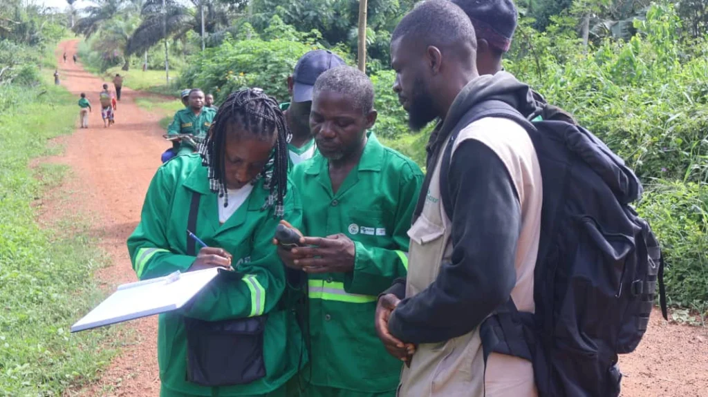
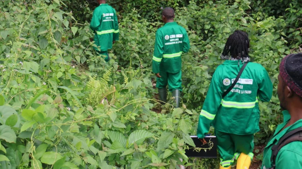
From February 12 to 22, 2026, the African Conservation and Development Foundation (ACDEF-Cameroon) conducted a participatory mapping mission in villages involved in the GEF project around the Dja landscape in Cameroon.
This initiative is part of the project titled: “Strengthening ecosystem governance and connectivity for biodiversity conservation and improved livelihoods of communities living around the Dja landscape.”
The main objective of this mission was to actively engage local communities in identifying and mapping natural resources, community-use areas, and ecologically sensitive zones. This approach aims to strengthen local governance while reinforcing biodiversity conservation efforts.
A Participatory Approach Serving Communities
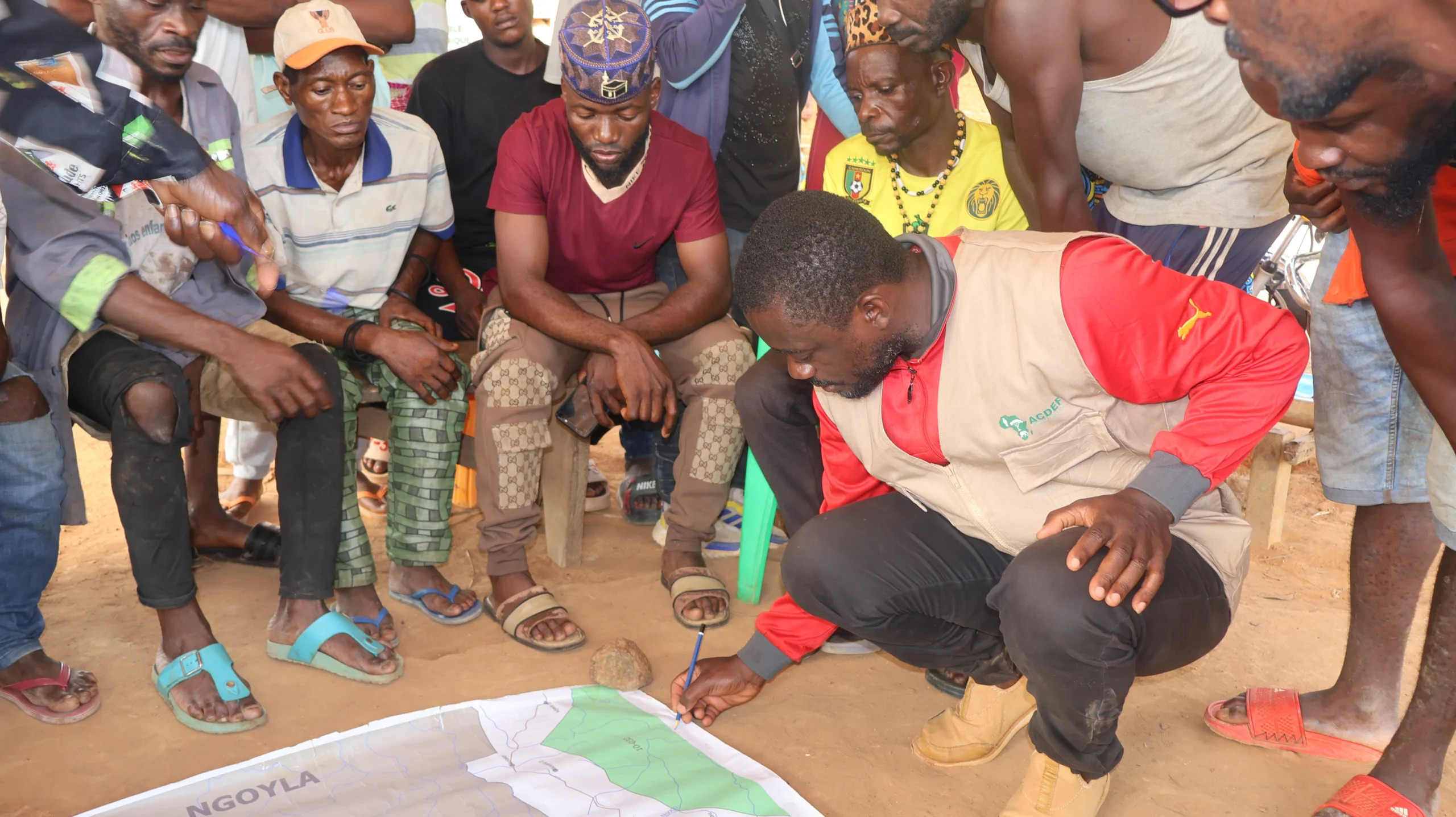
Participatory mapping is based on an inclusive approach that values local knowledge and community expertise regarding their territory.
During the mission, community workshops and participatory discussions were organized across the project villages. These dialogue spaces enabled local populations to accurately identify and map:
- Agricultural areas
- Fishing sites
- Hunting zones
- Areas for collecting non-timber forest products (NTFPs)
- Wildlife movement corridors
- Cultural sites of community importance
This process promotes local ownership of natural resource management challenges and strengthens collective decision-making.
A Strategic Tool for Biodiversity Conservation
The Dja landscape, which includes the Dja Biosphere Reserve, is one of the most biodiverse forest ecosystems in the Congo Basin.
However, this area faces increasing pressure from natural resource exploitation, agricultural expansion, and often unplanned land use.
In this context, participatory mapping emerges as a strategic tool. It helps better understand the spatial organization of human activities and natural resources while providing essential data to:
- Improve land-use planning
- Strengthen ecological connectivity between natural habitats
- Support local conservation strategies
Conservation and Livelihood Improvement
Beyond its environmental significance, this approach also contributes to improving the living conditions of local communities.
By clarifying land use and access to resources, participatory mapping helps organize economic activities more effectively and reduces conflicts related to land use.
It also serves as a lever to promote sustainable development initiatives such as:
- Community-based natural resource management
- Valorization of non-timber forest products (NTFPs)
- Ecotourism development
By placing communities at the center of territorial management, participatory mapping paves the way for a more collaborative, transparent, and sustainable approach to conservation.
The experience led by ACDEF-Cameroon in the GEF 8 project villages around the Dja landscape clearly demonstrates the transformative potential of this tool at the intersection of biodiversity conservation and local development.